Flash flood safety when camping in Texas
Updated October 26, 2026 · Planning guide · 3 min read
Texas leads the nation in flood deaths. A University of Texas at San Antonio study counted 1,069 from 1959 to 2019, far more than any other state, and 58% involved vehicles.
Most of those deaths were preventable. This guide covers where to camp, how to get warnings, and what to do when the water starts rising.
Key points
- Never drive or walk into water over a road. A foot of moving water can carry away most cars.
- A Flash Flood Watch means be prepared. A Flash Flood Warning means move to higher ground now.
- Don't camp on low ground beside a creek or river, or in a dry wash.
- Rain miles upstream can flood a creek where it isn't raining at all.
- Most Flash Flood Warnings don't set off the emergency alert on your phone. Have another way to get them.
Why Texas floods so fast
The Hill Country sits in what's called Flash Flood Alley, which follows the Balcones Escarpment from Waco south to Uvalde. Thin soils, steep limestone hills, and narrow valleys send heavy rain straight into the creeks and rivers instead of soaking it up, according to the Texas Water Resources Institute.
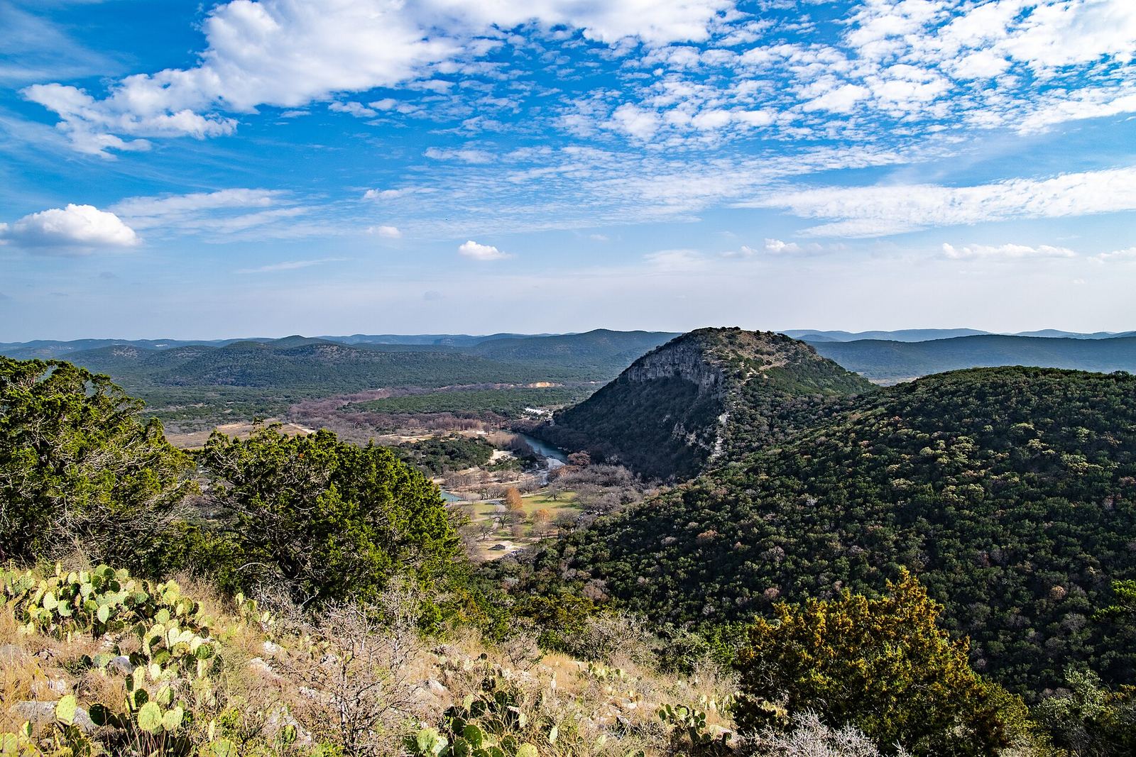
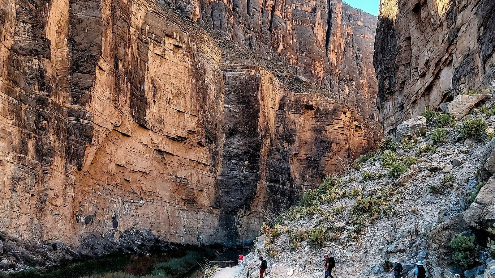
Photo: Corey Leopold, CC BY 2.0
Those rivers are also some of the state's most popular places to camp. In July 2025, the Guadalupe River at Hunt rose about 20 feet in just over 12 hours, and the Hill Country floods killed more than 100 people (NBC News).
The National Weather Service warns that dry streambeds can become raging torrents in minutes, even with no rain in sight.
Choosing a campsite
The National Weather Service advises against camping or parking along streams and washes, especially when storms threaten, because creeks can rise very quickly in heavy rain.
Don't camp in a dry creek bed, on a gravel bar, or on low ground beside a river. A flash flood can reach you while you're asleep.
- Find the fastest way to higher ground on foot from your site.
- Check whether the road out crosses a creek or low-water crossing. If it floods, you can be cut off.
- In a campground, ask how staff alert campers. If the alarm runs on electricity, have your own backup in case the power goes out.
Watches, warnings, and alerts
- Flash Flood Watch: conditions favor flash flooding. Be prepared, and plan where you'd go (NWS).
- Flash Flood Warning: flash flooding is happening or about to. Move to higher ground immediately.
- Flash Flood Emergency: rare. A severe threat to life and catastrophic damage is happening or imminent (NWS).
Your phone may stay silent. Emergency alerts go out only for the most severe Flash Flood Warnings, and the National Weather Service says most warnings won't trigger one. A NOAA Weather Radio receives warnings directly, with no cell signal needed. See other ways to get warnings.
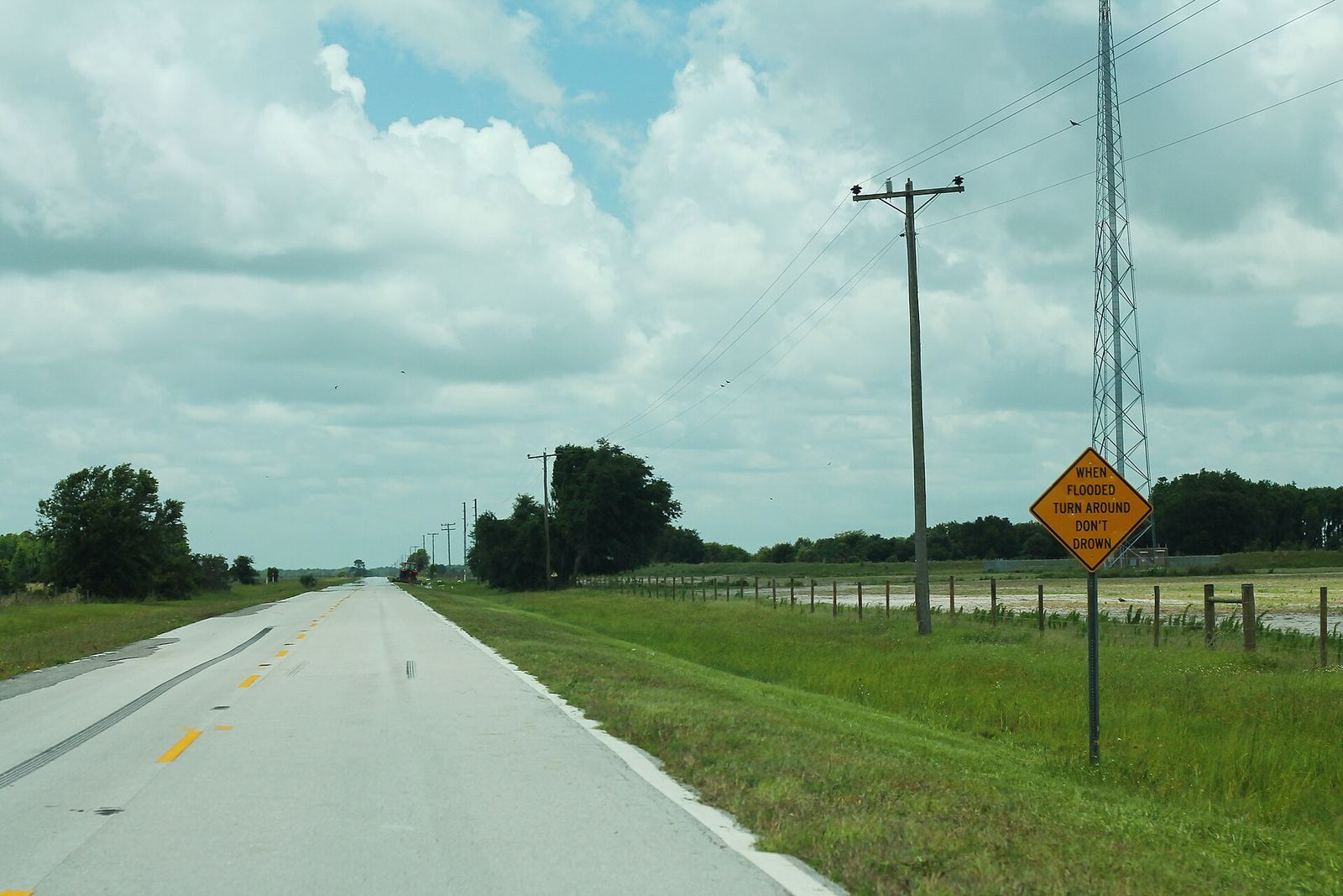
Photo: formulanone from Huntsville, United States, CC BY-SA 2.0
If water starts rising
If you notice even a slight rise in the water, head for higher ground right away (NWS). Leave the gear.
- Don't cross moving water on foot. Six inches of fast-moving water can knock an adult down.
- If floodwater rises around your vehicle, get out and move to higher ground if you can do so safely (NWS).
- Be extra careful at night, when flood dangers are harder to see.
On the road
More than half of flood drownings happen when someone drives into floodwater. Just 12 inches of rushing water can carry away most cars, and 2 feet can carry away SUVs and trucks. The road under the water may already be gone (Turn Around Don't Drown).
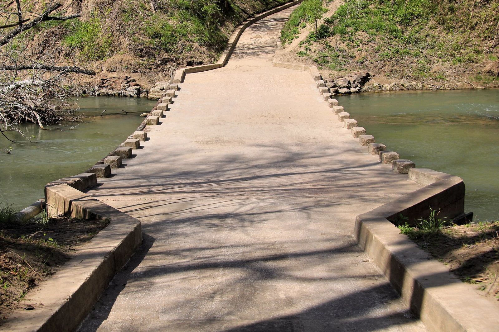
Photo: Larry D. Moore, CC BY 4.0
Never drive around a barricade at a flooded road or low-water crossing. In Texas it's also illegal, with a fine of up to $2,000 and up to 180 days in jail (TxDOT).
DriveTexas shows flooding and closures on state highways and FM and RM roads. It doesn't cover city or county roads.
Before you go checklist
- Check the National Weather Service forecast for your campsite and the hill country upstream.
- Set up a way to get warnings without cell service, such as a NOAA Weather Radio.
- Pick a site on higher ground, with a way out that doesn't cross a creek.
- Check DriveTexas for closures on your route.
- Check your park's page on Texas State Parks for flood closures and alerts.
- Watch river levels on TexasFlood.org, from the Texas Water Development Board.
See flood risk on your route
QuickCamp's Safety layer shows weather alerts, fire and smoke, and flood risk along your route.
Route guides
Sources
Rules, closures, and conditions change. Always check the agency page before you go.
- National Weather Service, Turn Around Don't Drown
- National Weather Service, flood watches and warnings
- National Weather Service, flood safety for camping and hiking
- TxDOT, Six inches of water can be deadly
- DriveTexas
- TexasFlood.org (Texas Water Development Board)
- Texas Water Resources Institute, Flash Flood Alley
- UTSA, Texas Hill Country flash flooding