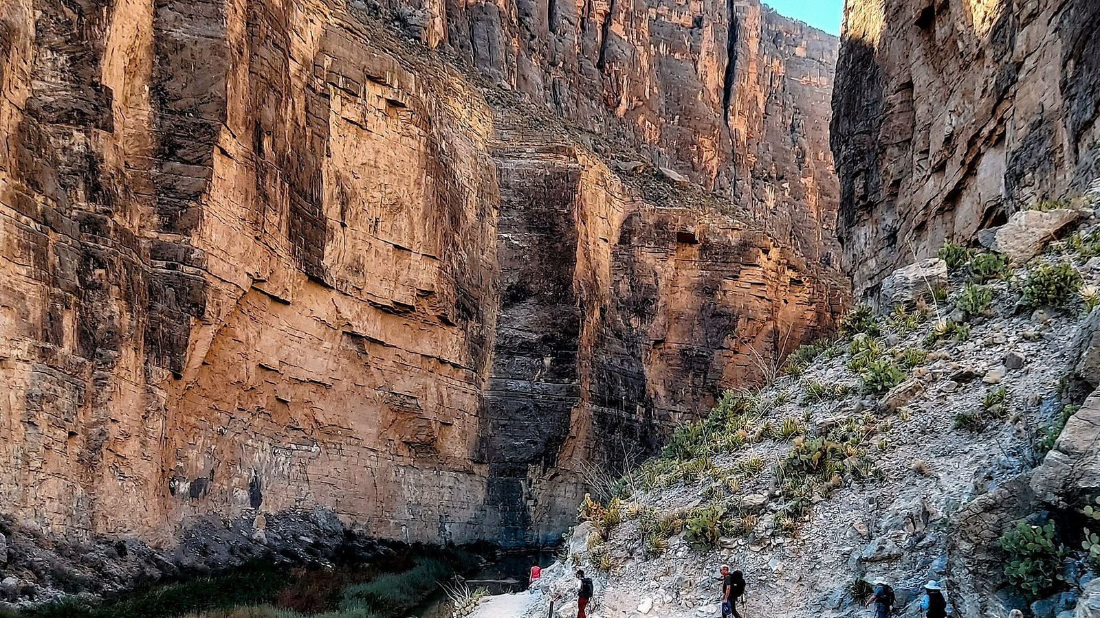
Where to camp from Austin to Big Bend National Park
Updated October 26, 2026 · Route guide
- 477 miles
- About 8 h of driving
- Texas
- 4 sections
The drive from Austin to Big Bend runs west through the Hill Country to Fredericksburg and Junction, follows I-10 across the Edwards Plateau to Fort Stockton, then turns south on US-385 through Marathon to the park.
You can do it in one long day, but the Hill Country and the South Llano River are worth a night on the way. Inside the park, campsites are reservation only, so book before you leave Austin.
Map loads as you scroll. Open the live map in QuickCamp.
Orange pins are campgrounds and green pins are hikes. Tap a pin for its name.
See every camp on this route
Opens QuickCamp with this route filled in: campgrounds, hikes, and live safety alerts.
Hill Country to Fredericksburg
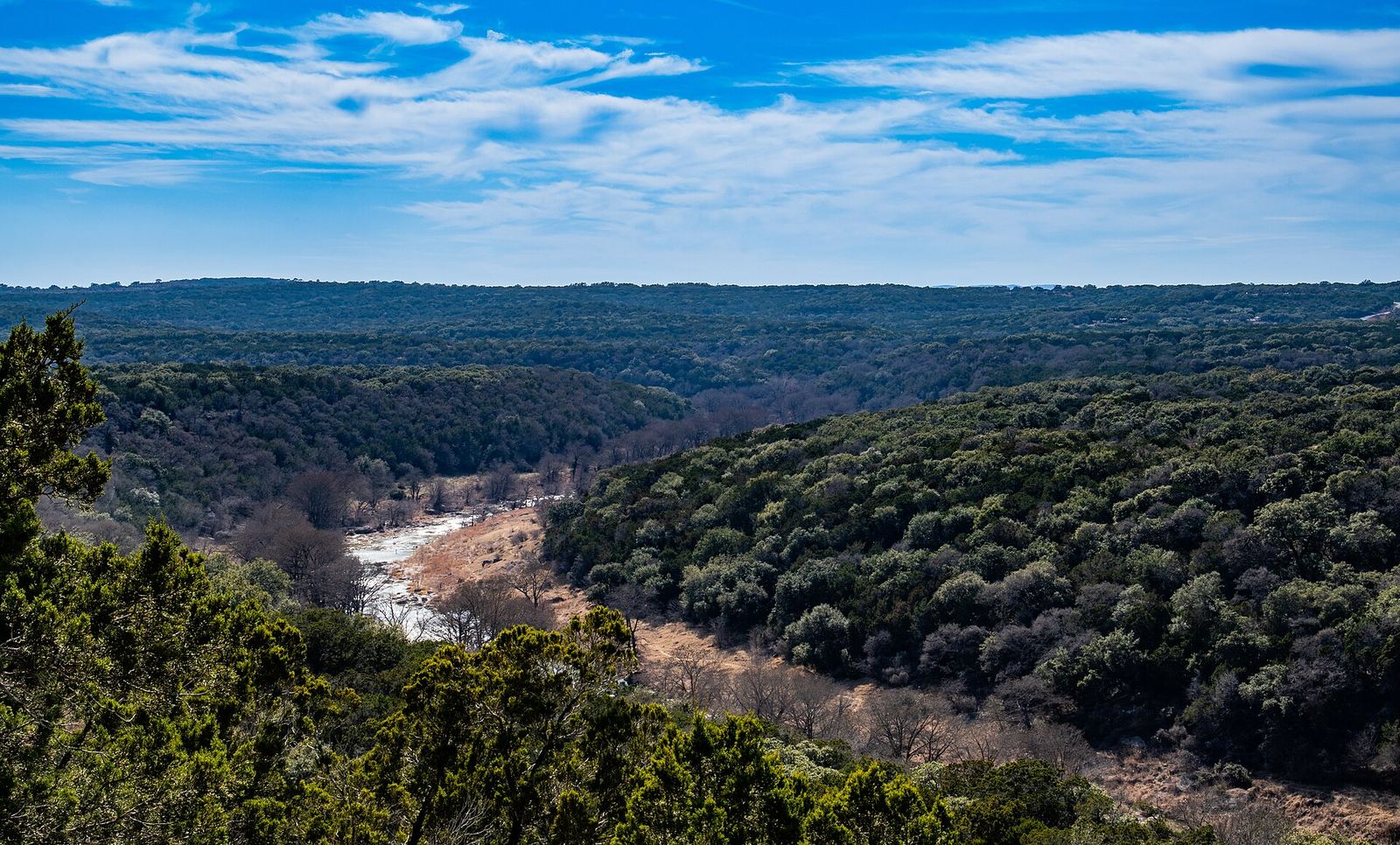
Photo: Corey Leopold, CC BY 2.0
West of Austin the route follows US-290 past Dripping Springs and Johnson City to Fredericksburg. Two state parks sit a short detour off the highway.
-
Pedernales Falls State Park
Campsites with water and electricity near the falls, plus hike-in primitive sites. The water/electric campground closes January 1, 2027 through summer 2027 for construction, and the park closes for a few hunt dates each winter.
-
Old Tunnel State Park
Up to 3 million Mexican free-tailed bats leave an old railroad tunnel at dusk, May through October. No camping; bat viewing after 5 p.m. is by ticket.
Junction and the South Llano River
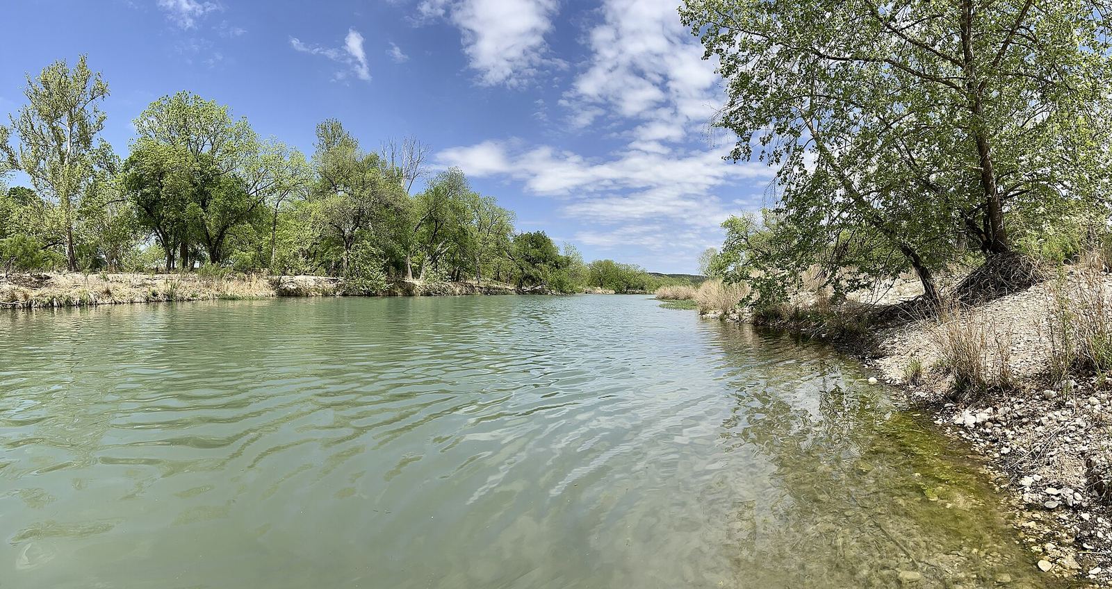
Photo: Jonathan Cutrer, CC0
Junction is the last real Hill Country town before I-10 heads into open ranch land, and a good first night out of Austin.
-
South Llano River State Park
Camping along the South Llano River about 5 miles south of Junction, with tubing and paddling when the river is up.
Across West Texas on I-10
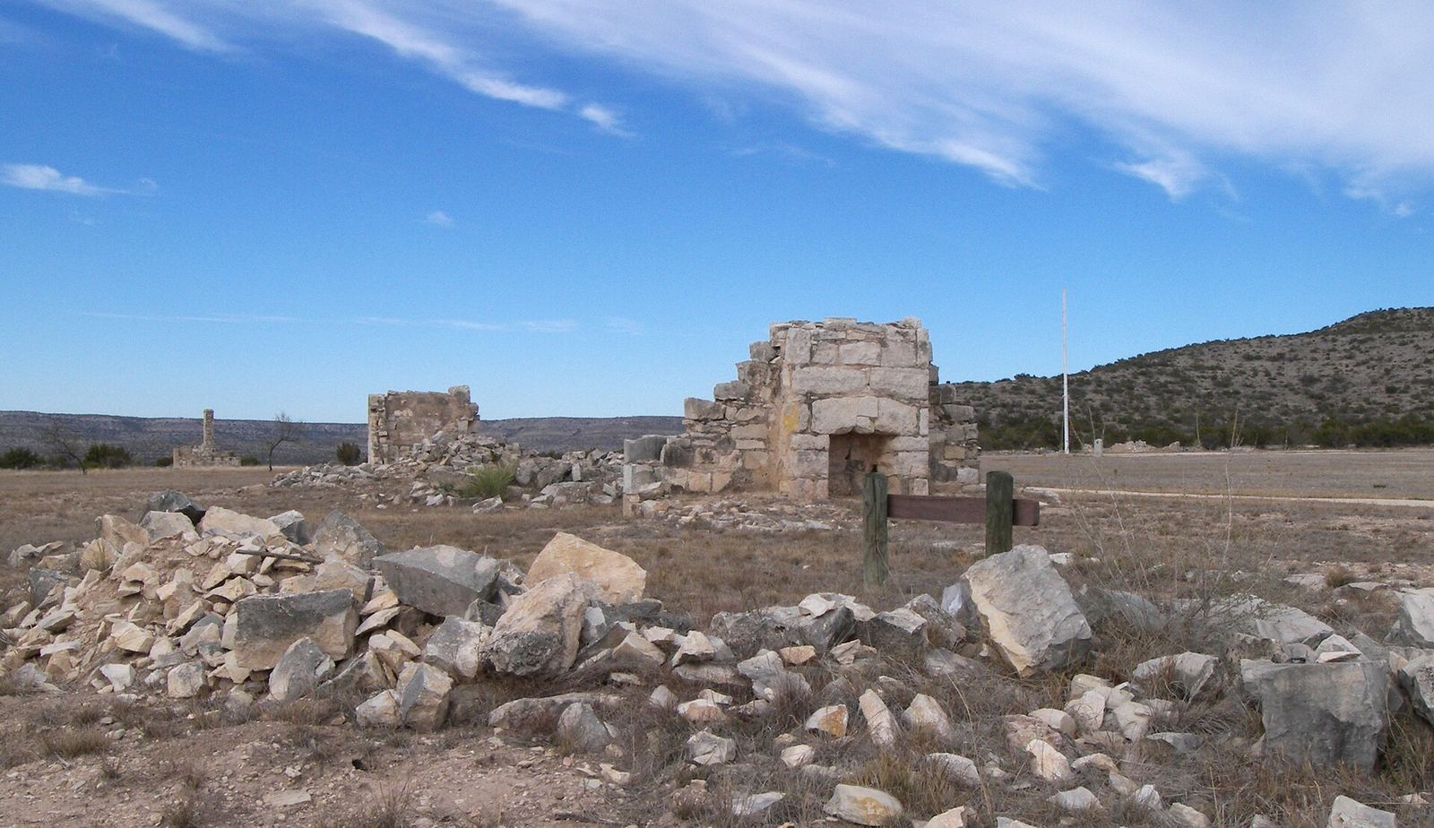
Photo: Larry D. Moore, CC BY 4.0
From Junction to Fort Stockton, I-10 crosses long empty miles past Sonora and Ozona. Fill up in the towns; gaps between services get longer from here on.
-
Fort Lancaster State Historic Site
Ruins of an 1850s frontier fort a few miles off I-10 near Sheffield, with a visitor center and a self-guided walk. Open Tuesday to Saturday, 9 a.m. to 5 p.m.
Marathon to Big Bend National Park
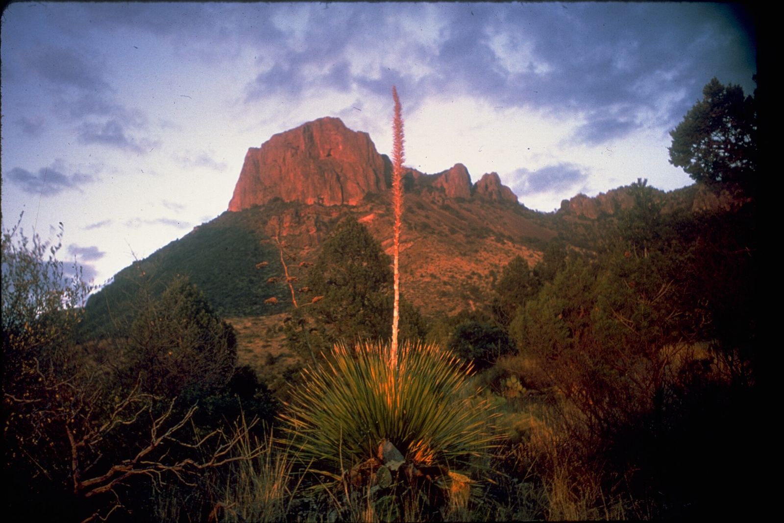
Photo: National Park Service Digital Image Archives, Public domain
At Fort Stockton the route turns south on US-385 to Marathon, then crosses about 45 miles of desert to the park's north entrance at Persimmon Gap. The park has three campgrounds run by the National Park Service and a concession RV park.
All park campgrounds require reservations, and wood and ground fires are not allowed anywhere in the park.
-
Chisos Basin Campground
Open year-round at 5,400 feet in the Chisos Mountains. Reservations required. The road is narrow and winding; trailers over 20 feet and RVs over 24 feet are not recommended.
-
Rio Grande Village Campground
Near the Rio Grande on the east side of the park. Reservations required. The adjacent Rio Grande Village RV Park, run by Aramark, has full hookups for rigs up to 38 feet.
-
Santa Elena Canyon Trail
1.6 miles round trip into the mouth of Santa Elena Canyon at the end of Ross Maxwell Scenic Drive. You first cross Terlingua Creek, which can be dry, muddy, or flowing; the trail can be impassable after rain.
Before you go
- Reservations. Big Bend's campgrounds have no first-come, first-served sites. Book on Recreation.gov before you go. Pedernales Falls often reaches capacity on weekends and holidays, so reserve there too.
- Flash floods. Hill Country rivers and West Texas washes can rise fast after storms. Never drive into water over the road. Check DriveTexas for closures.
- Fuel and water. Services are far apart west of Junction and south of Marathon. Fill up in town and carry extra water.
- Live alerts. QuickCamp's Safety layer shows weather alerts, fire and smoke, and flood risk along this route.
Sources
Seasons, closures, and reservation rules change. Always check the agency page before you go.
- National Park Service, Big Bend camping
- Texas Parks and Wildlife
- Texas Historical Commission
- Recreation.gov
Route line: OSRM, © OpenStreetMap contributors (ODbL). Distances and drive time from a QuickCamp route search. Map imagery © Google.