Photo: Blake Everett Carroll, CC BY-SA 4.0
Where to camp from San Francisco to Lake Tahoe and Las Vegas
Updated October 26, 2026 · Route guide
- 627 miles
- About 10 h 30 min of driving
- California and Nevada
- 5 sections
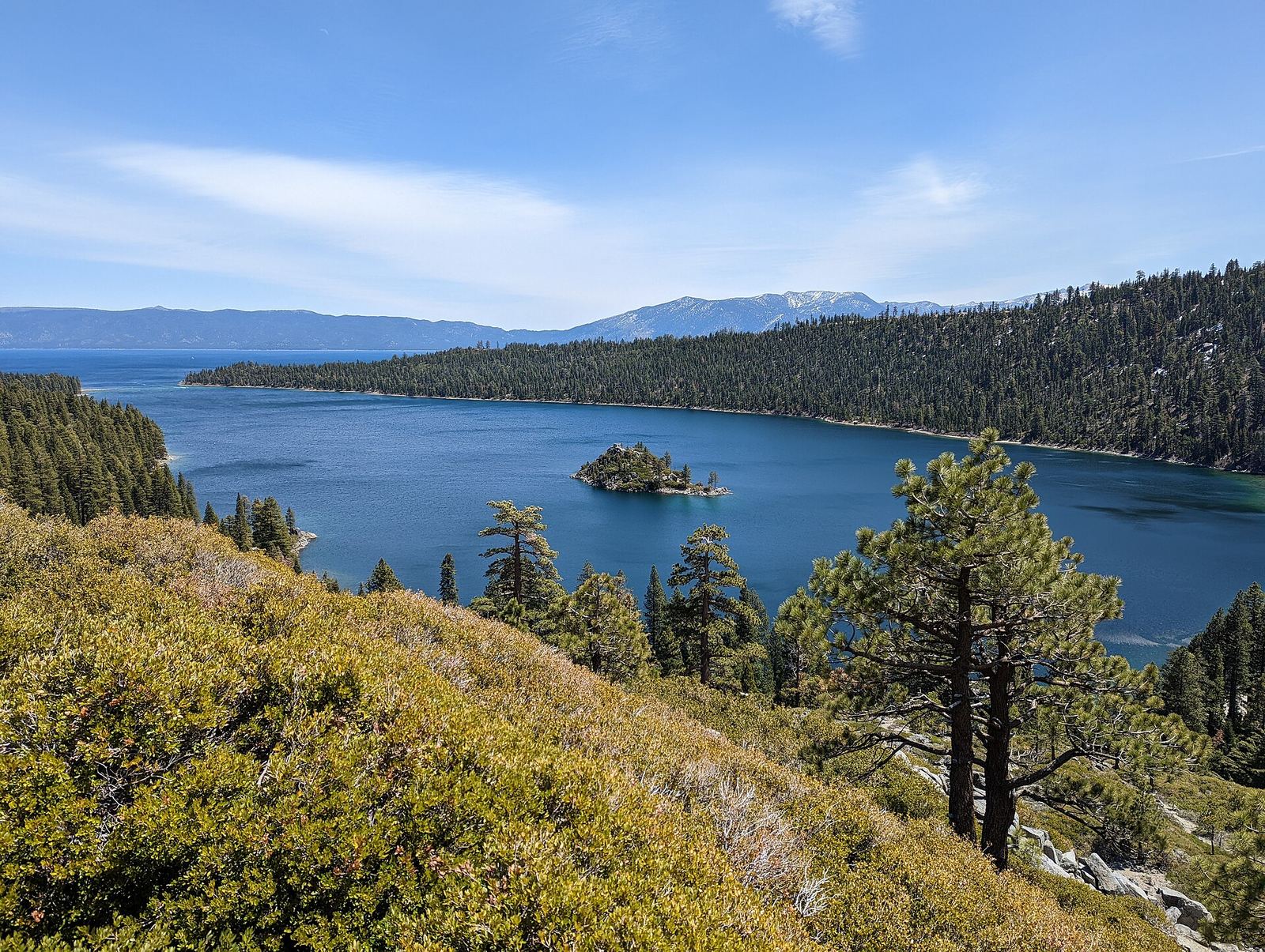
This is the route behind QuickCamp's Use sample route button. It starts at the Golden Gate, climbs US-50 over the Sierra to South Lake Tahoe, runs down US-395 along the east side of the range to Mono Lake, then crosses the Nevada desert to Las Vegas.
It's a long day of driving on paper and a much better trip over three or four nights. The stops below are in driving order, with the agency that runs each one.
Map loads as you scroll. Open the live map in QuickCamp.
Orange pins are campgrounds and green pins are hikes. Tap a pin for its name.
See every camp on this route
Opens QuickCamp with this route filled in: campgrounds, hikes, and live safety alerts.
San Francisco and the Golden Gate
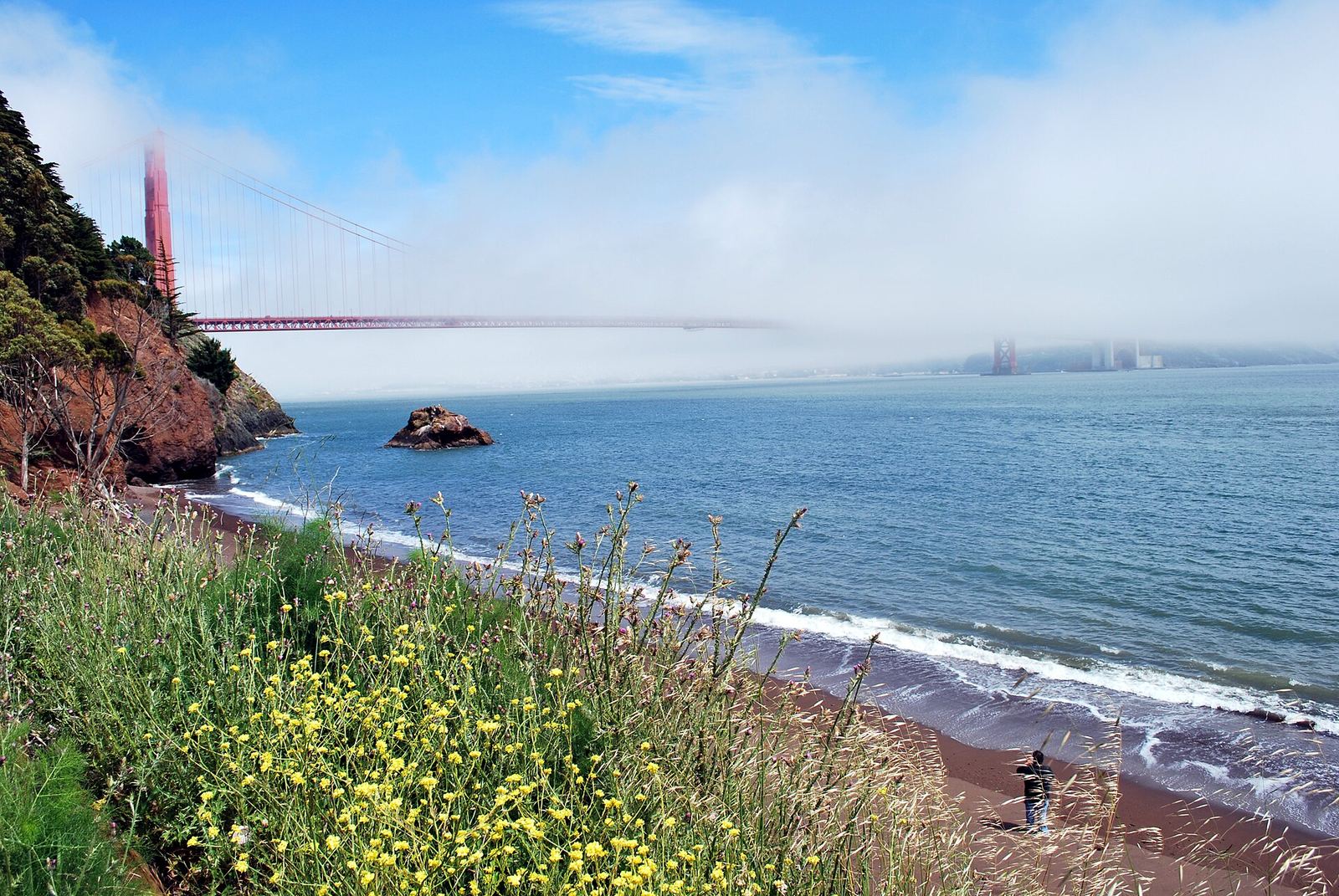
Photo: BenBench, Public domain
Camping inside the city is limited, so the classic first night is across the bridge in the Marin Headlands. Book early: sites here are few and go fast.
-
Kirby Cove Campground
A handful of sites on a beach below the Golden Gate Bridge, in Golden Gate National Recreation Area. Typically open spring through fall; reservations open six months ahead.
-
Lands End Trail
A cliffside trail through cypress and past old batteries and shipwreck views, starting near the Lands End Lookout visitor center.
Over the Sierra on US-50
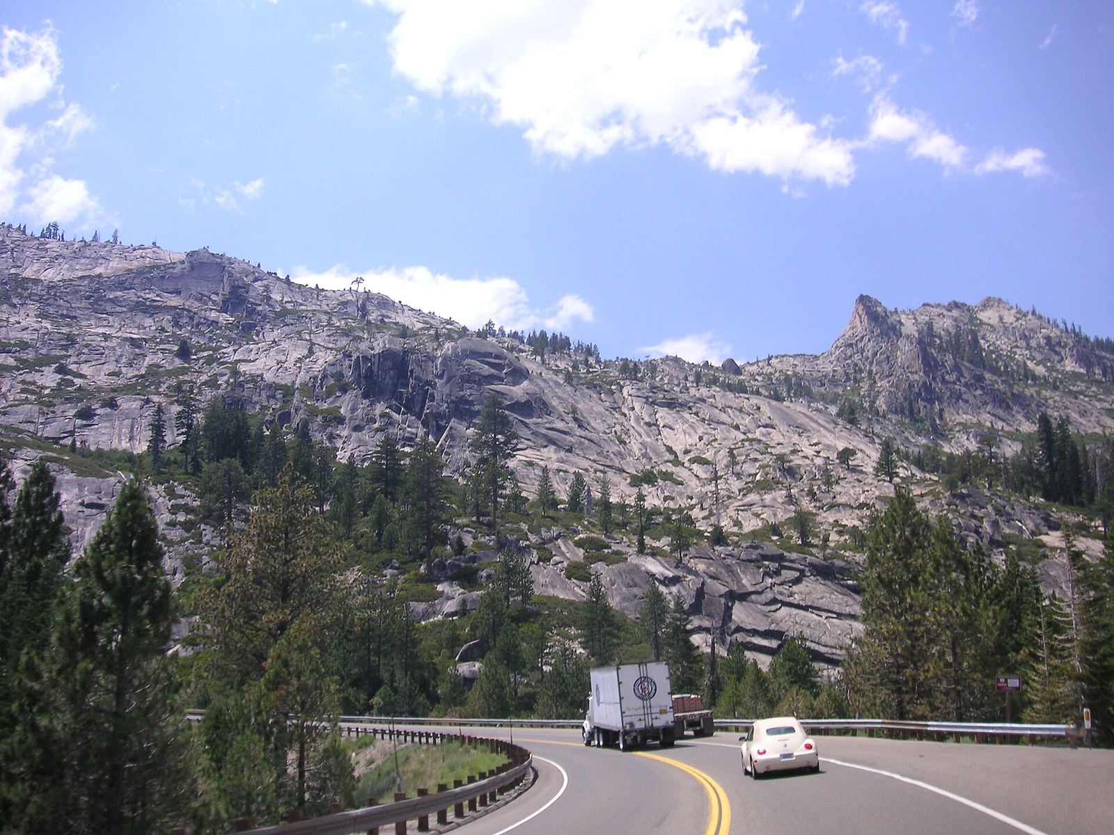
Photo: Beatrice Murch, CC BY 2.0
Past Placerville, US-50 climbs through the Eldorado National Forest to Echo Summit before dropping into the Tahoe Basin. Forest campgrounds up here are seasonal and depend on snow.
-
Wrights Lake Campground
A high lake on the edge of Desolation Wilderness, a few miles north of US-50. Usually open late June through October; closed for the 2026 season, so check before planning 2027.
South Lake Tahoe
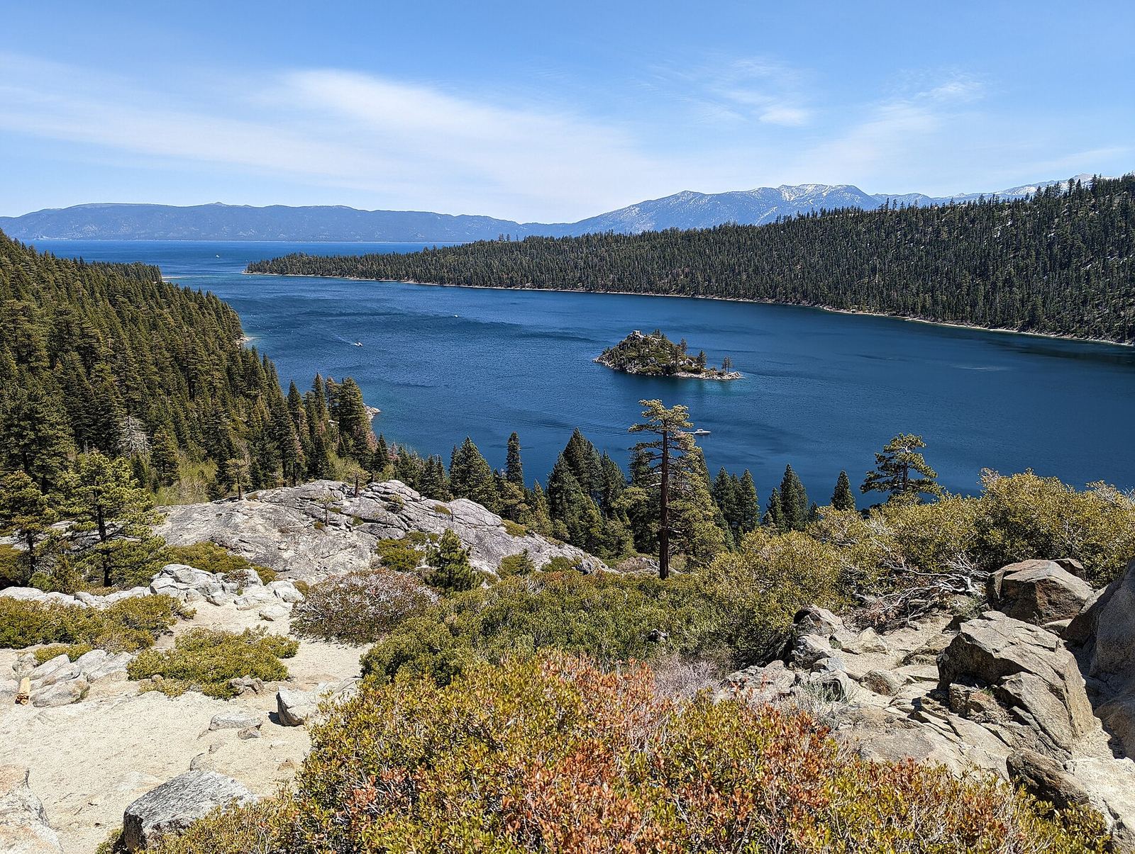
Photo: Blake Everett Carroll, CC BY-SA 4.0
The south shore has the most campgrounds on the route, all within a few miles of US-50 and Highway 89. Summer weekends fill months ahead.
-
Fallen Leaf Campground
A large Forest Service campground with tent sites, RV sites and yurts, less than a mile from the lake. Typically mid-May to mid-October, reservations only.
-
Nevada Beach Campground
Sites in the pines just back from a sandy beach on the Nevada side, a short drive from Stateline. Seasonal, roughly May through October.
-
D. L. Bliss State Park
Summer-only camping near Emerald Bay. Camping is closed until May 2027; reservations open six months ahead through ReserveCalifornia.
US-395 to Mono Lake
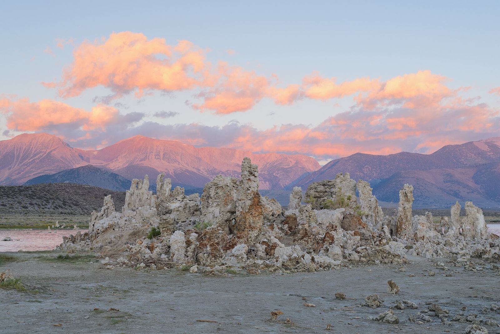
Photo: King of Hearts, CC BY-SA 3.0
South of the Carson Valley, US-395 follows the east side of the Sierra through Bridgeport to Lee Vining and Mono Lake. The campgrounds here sit high and open late; plan around snow in spring and fall.
-
Lower Twin Lake Campground
On Twin Lakes Road west of Bridgeport. Open about late April to early October, with reservations in peak season.
-
Lower Lee Vining Campground
Basic creekside sites on Highway 120 west of Lee Vining. First-come, first-served, with bear lockers and no drinking water. Seasonal.
-
South Tufa
A 1-mile self-guided loop through the tufa towers at Mono Lake, off Highway 120 east of US-395. The single best stop if you only have time for one.
Across Nevada to Las Vegas
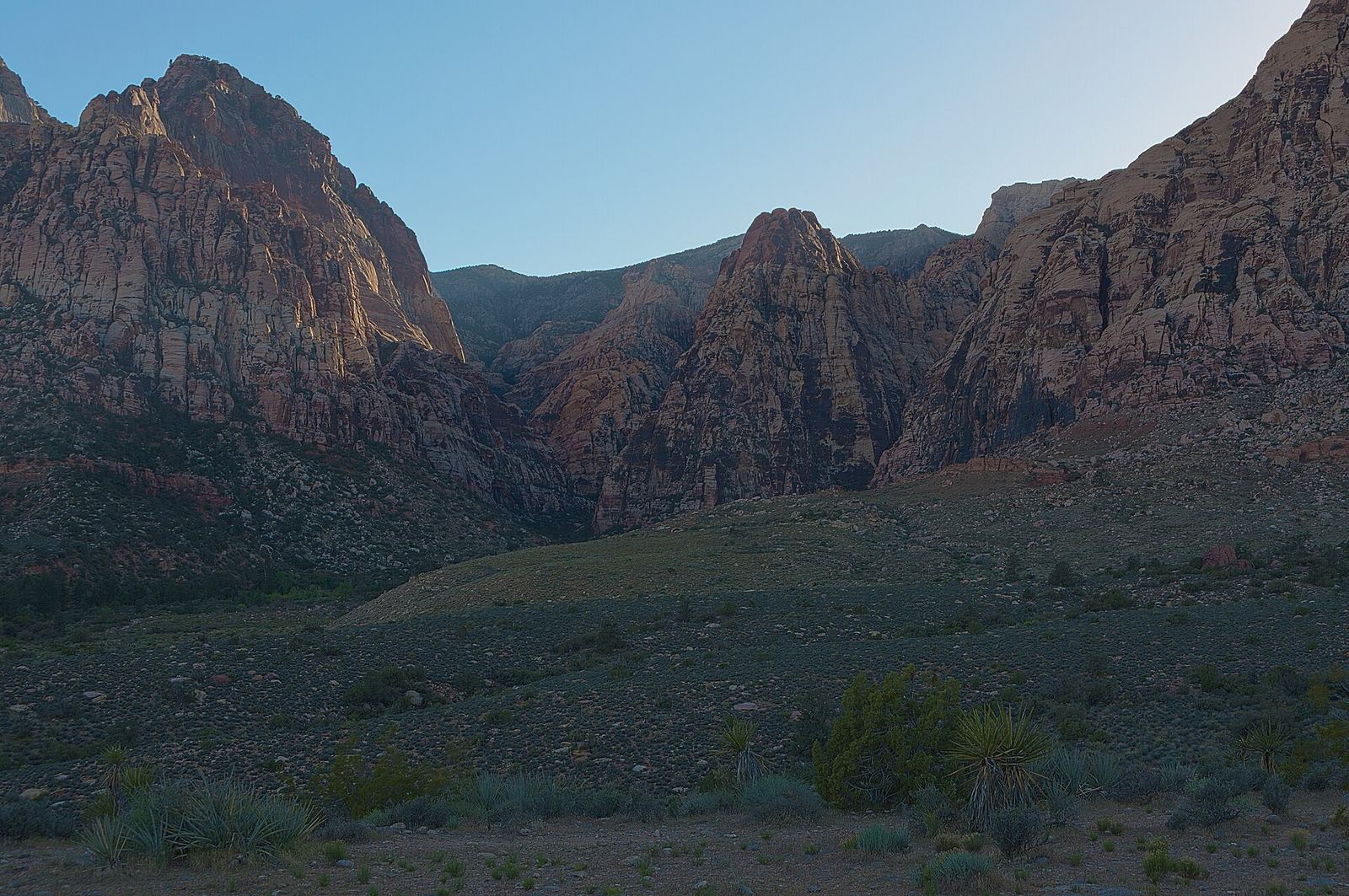
Photo: Sixflashphoto, CC BY-SA 4.0
East of Mono Lake the route follows Highway 120 and US-6 into Nevada, then US-95 through Goldfield and Beatty to Las Vegas. Towns are far apart, so fill the tank before you leave US-395.
QuickCamp found very few campgrounds along this stretch. If you need a night on the way, open the route in QuickCamp and widen the search distance.
-
Red Rock Canyon Campground
Desert sites below the sandstone cliffs west of Las Vegas. Closed June through August; reservation only from September through May.
Before you go
- Mountain passes. US-50 at Echo Summit and US-395 can see chain controls from fall through spring. Check Caltrans QuickMap in California and Nevada 511 before you drive.
- Seasons. Most campgrounds on this route are seasonal, and several close for snow or summer heat. Each stop above links to the agency page with current dates.
- Fuel and water. Services are sparse between Mono Lake and Las Vegas. Carry extra water, especially in summer.
- Live alerts. QuickCamp's Safety layer shows weather alerts, fire and smoke, and flood risk along this route.
Sources
Seasons, closures, and reservation rules change. Always check the agency page before you go.
- National Park Service, Golden Gate NRA
- Recreation.gov
- USDA Forest Service
- California State Parks
- Bureau of Land Management
Route line: OSRM, © OpenStreetMap contributors (ODbL). Distances and drive time from a QuickCamp route search. Map imagery © Google.