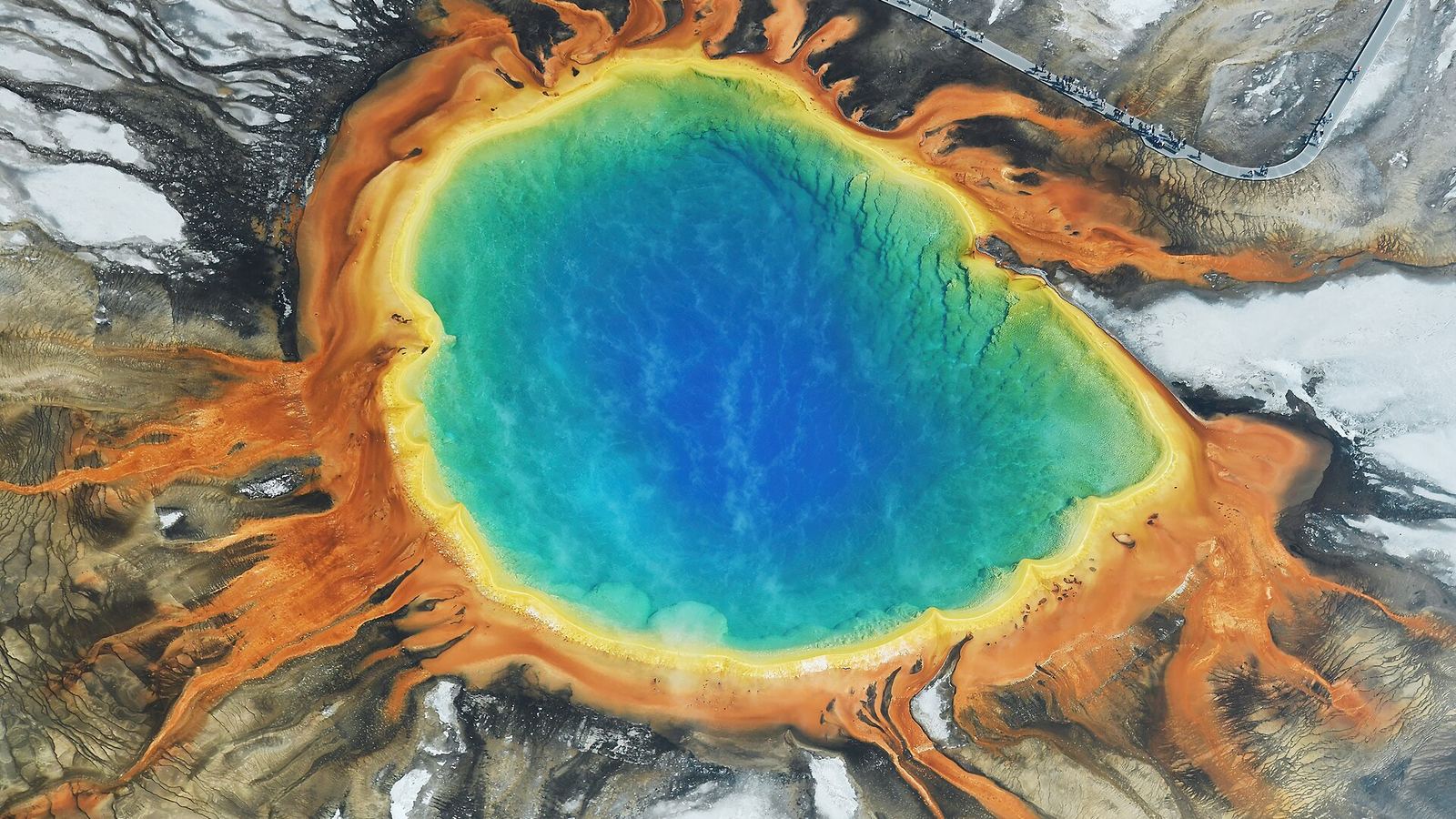
Photo: Carsten Steger, CC BY-SA 4.0
Where to camp from Mesa Verde to Yellowstone
Updated October 26, 2026 · Route guide
- 732 miles
- About 14 h 30 min of driving
- Colorado, Utah, Idaho, Montana, Wyoming
- 5 sections
This route links two very different national parks. It leaves Mesa Verde's cliff dwellings for the red rock around Moab and Arches, follows I-15 up the Wasatch Front and across eastern Idaho, then enters Yellowstone at West Yellowstone.
It's two long driving days at minimum. Most campgrounds along it are seasonal, and both parks close much of their camping in winter, so this is a late-spring to early-fall trip.
Map loads as you scroll. Open the live map in QuickCamp.
Orange pins are campgrounds and green pins are hikes. Tap a pin for its name.
See every camp on this route
Opens QuickCamp with this route filled in: campgrounds, hikes, and live safety alerts.
Mesa Verde and Dolores
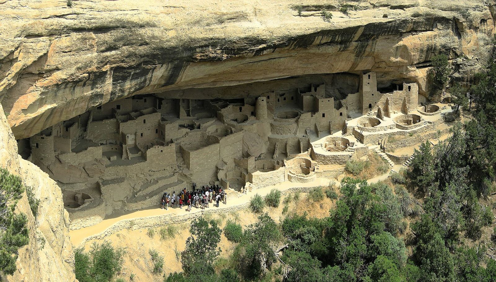
Photo: Tobi 87, CC BY-SA 4.0
Morefield is the only campground inside Mesa Verde. North of Cortez, McPhee Reservoir near Dolores is the closest national forest option.
-
Morefield Campground
Run by the park concessioner, about 4 miles inside the entrance. The 2026 season ran April 24 to October 18, with a few primitive no-service weeks on either side.
-
McPhee Campground
On a mesa above McPhee Reservoir in the San Juan National Forest, with some electric sites and some first-come sites. Full services are summer only.
North on US-191 toward Moab
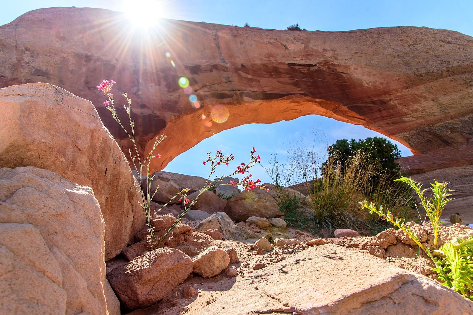
Photo: Marco van der Haar, Public domain
From Cortez the route crosses into Utah on US-491 to Monticello, then follows US-191 north past Wilson Arch, which sits right beside the highway.
-
Devils Canyon Campground
Pine-shaded sites at 7,400 feet, 13 miles south of Monticello on US-191 (a detour south from the route). Open about April through September 30; drinking water is seasonal.
Moab and Arches
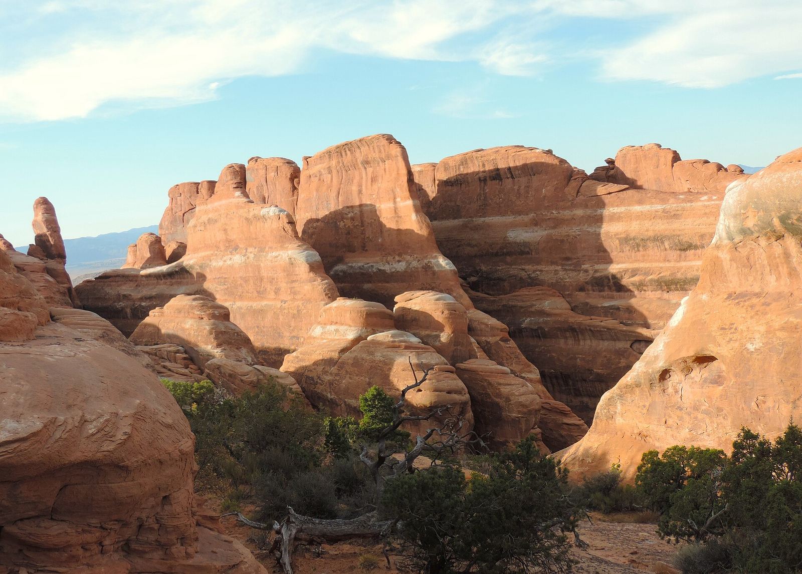
Moab has the densest cluster of campgrounds on the route, most of them BLM sites along the Colorado River. Arches dropped timed-entry reservations for 2026, but parking at popular trailheads still fills by mid-morning in spring and fall.
-
Devils Garden Campground
The only campground in Arches, at the end of the park road. Reservation only from March 1 to October 31; first-come, first-served from November through February.
-
Goose Island Campground
Riverside sites on Highway 128, 1.4 miles from US-191, facing the cliffs of Arches. First-come, first-served, no drinking water, and usually full by morning from March through October.
Utah and Idaho on I-15
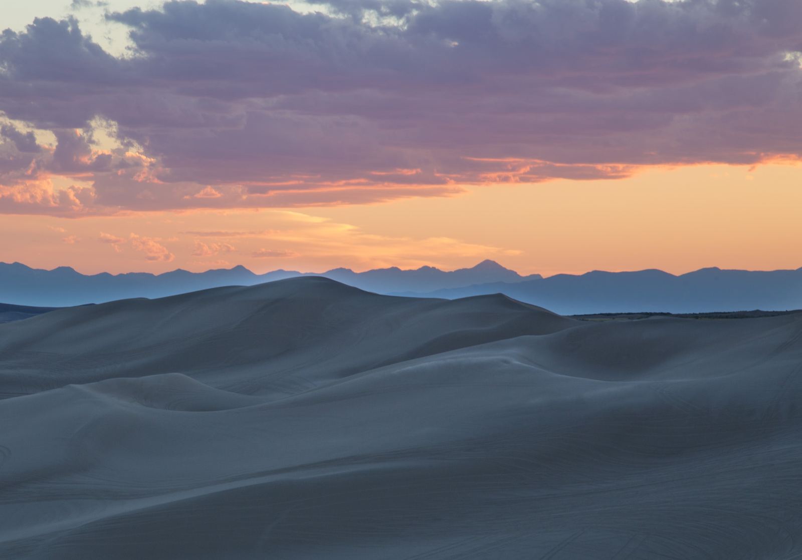
Photo: Bureau of Land Management, Public domain
North of Moab the route joins I-70 briefly, crosses to Price and Provo, then follows I-15 past Salt Lake City and into Idaho. National forest campgrounds sit in the canyons east of the interstate; open the route in QuickCamp to see them by mile.
-
Egin Lakes Campground
48 sites with electric hookups at the St. Anthony Sand Dunes, 8 miles west of St. Anthony. 26 sites are reservable; the rest are first-come. Closed roughly November 1 to April 1.
West Yellowstone to the geyser basins
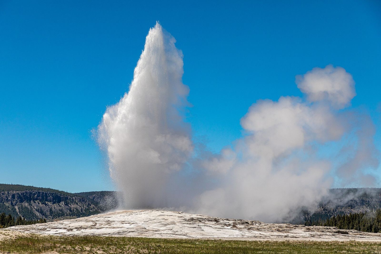
Photo: Dietmar Rabich, CC BY-SA 4.0
US-20 climbs from Idaho to West Yellowstone, Montana, and the park's West Entrance. The road from the West Entrance to Madison and Old Faithful is closed to cars from November 1 to mid-April.
-
Madison Campground
The closest campground to the geyser basins, 14 miles inside the West Entrance. 2026 season May 1 to October 17. All Yellowstone campsites must be reserved in advance.
-
Upper Geyser Basin
Boardwalks and paved paths loop past Old Faithful and about 150 geysers in one square mile. Stay on the boardwalks; the ground and water can severely burn.
Before you go
- Seasons. Morefield, Devils Canyon, Egin Lakes and Madison all close for winter. Check each agency page above for current dates.
- Reservations. Yellowstone and Devils Garden (March through October) are reservation only, and both fill months ahead.
- Roads. Yellowstone's interior roads close to cars in early November. Check Yellowstone park roads before you go.
- Live alerts. QuickCamp's Safety layer shows weather alerts, fire and smoke, and flood risk along this route.
Sources
Seasons, closures, and reservation rules change. Always check the agency page before you go.
- National Park Service, Mesa Verde
- National Park Service, Arches
- National Park Service, Yellowstone camping
- USDA Forest Service
- Bureau of Land Management
- Recreation.gov
Route line: OSRM, © OpenStreetMap contributors (ODbL). Distances and drive time from a QuickCamp route search. Map imagery © Google.